 Facebook
 X
X
 Pinterest
 Copy Link

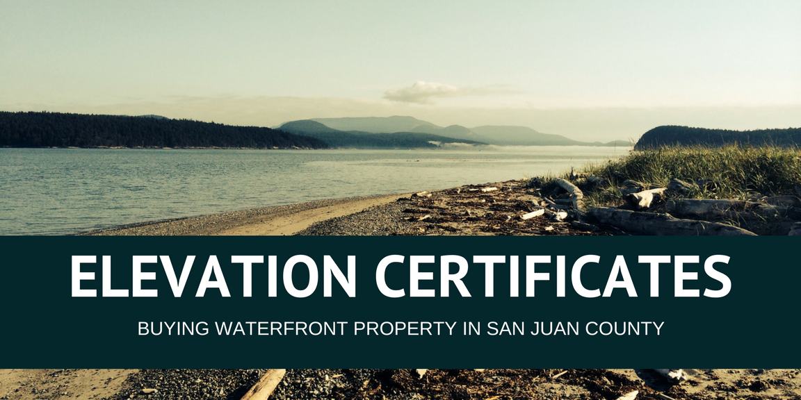
One of the greatest things about owning property on Orcas Island is that you are, well, on an island. Let’s face it, who doesn’t like being surrounded by water on all sides? Okay, so maybe it’s not everyone’s cup of tea, but if you are into the whole water thing, purchasing land here can be a great investment in your future. The only thing that could be better? Your own personal piece of rocky beach, waterfront property!
Before you get too caught up in your reverie of owning a slice of heaven, keep in mind that San Juan County has been raising the bar the last several years on issues surrounding the exchange of waterfront parcels. Part of this comes from FEMA, who has been pushing their National Flood Insurance Program after taking a big hit following Hurricane Katrina. So, what does this mean for you as a buyer? Regardless of whether the property you are looking at is high or low bank, flood insurance will be required to receive approval from the Building Department for building plans and occupancy.
Now for the good news: you can get an exemption for flood insurance by providing a FEMA Elevation Certificate. The purpose of this certificate is to prove that your structure, or planned structure, is above the Base Flood Elevation. Base Flood Elevation, as defined by FEMA, is the “computed elevation to which flood waters are anticipated to rise during the base (1-percent-annual-chance) flood event”. Thankfully Elevation Certificates are not difficult to get; however, the process does take time – on average 2-4 months – so it’s important to start this as soon as possible.
To begin, you will want to contact a local survey company as they can help walk you through each stage. Initially they will probably perform a preliminary field review, which can often determine if the structure, or proposed structure, is above the base flood elevation. In San Juan County, these elevations can range anywhere between 11 and 18 feet. If the preliminary findings are not enough, the surveyor will work with you to attain the required elevation certificate.
Here is a look at what to expect from this process:
- The Corps of Engineers will be employed to determine the base flood elevation for the specific site in question, taking into account the local ecology. Their determination generally takes 1-3 weeks.
- An Elevation Certificate will need to be completed by a Professional Land Surveyor. If the parcel in question has been built on, the surveyor will check several things including: the structure of the building and foundation, constructed and non-constructed flood openings, square footage, will take photos of all sides of the building, and will measure the elevation of the lowest adjacent grade. Both the survey and the certificate can normally be completed in less than a week.
- A FEMA application will need to be completed and include the findings from both the Corps of Engineers and the Professional Land Surveyor. Once this package is submitted, they have 60 days to review the findings.
Only after this entire review process will FEMA remove a structure or parcel segment from the flood plain, meaning as a buyer, that you will no longer be required to purchase flood insurance.
Tip: If you are purchasing waterfront land that has not been built on, talk to a survey company before beginning projects. Most will work with you prior to the design or construction phase to ensure that any buildings will be above the flood zone.
If you have questions and/or concerns about this topic, please contact us here.
A special thanks to Star Surveying Inc and Madrona Point Insurance for their expertise on this topic.
