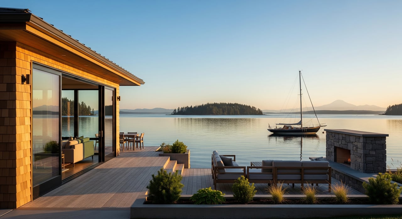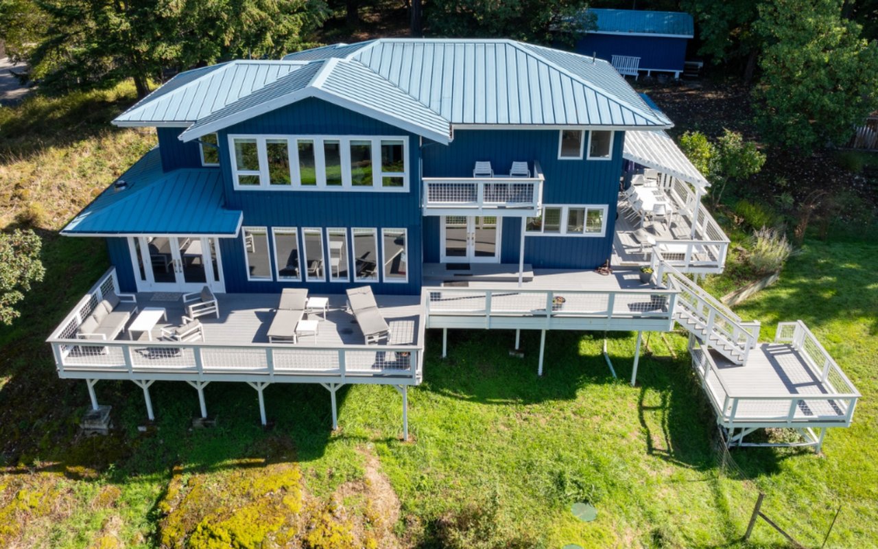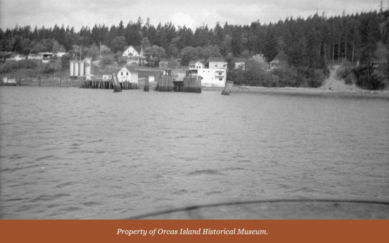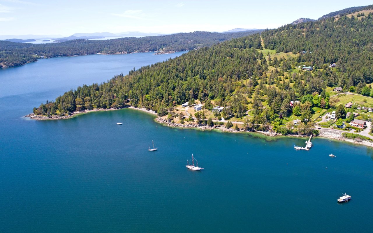
Is the view calling you to Orcas Island’s shoreline? Before you fall in love with a waterfront parcel, make sure it can support the home and lifestyle you have in mind. Waterfront land on Orcas is special, but it also comes with unique rules, logistics, and costs that mainland buyers rarely face. In this guide, you’ll learn how to evaluate access, slope and shoreline, water and septic feasibility, utilities, permits, budgets, and risk so you can move forward with confidence. Let’s dive in.
Access and legal rights
Getting to your land safely and legally is step one. On Orcas Island, that can mean ferries, private roads, and sometimes tidal limitations.
Verify legal access
- Confirm how you reach the property: county road, private road, or recorded easement.
- Review any easement document for width, maintenance responsibilities, and vehicle restrictions.
- If beach travel is part of access, check for seasonal or tide-based limits.
- Order a current title report and a recorded plat to verify rights-of-way.
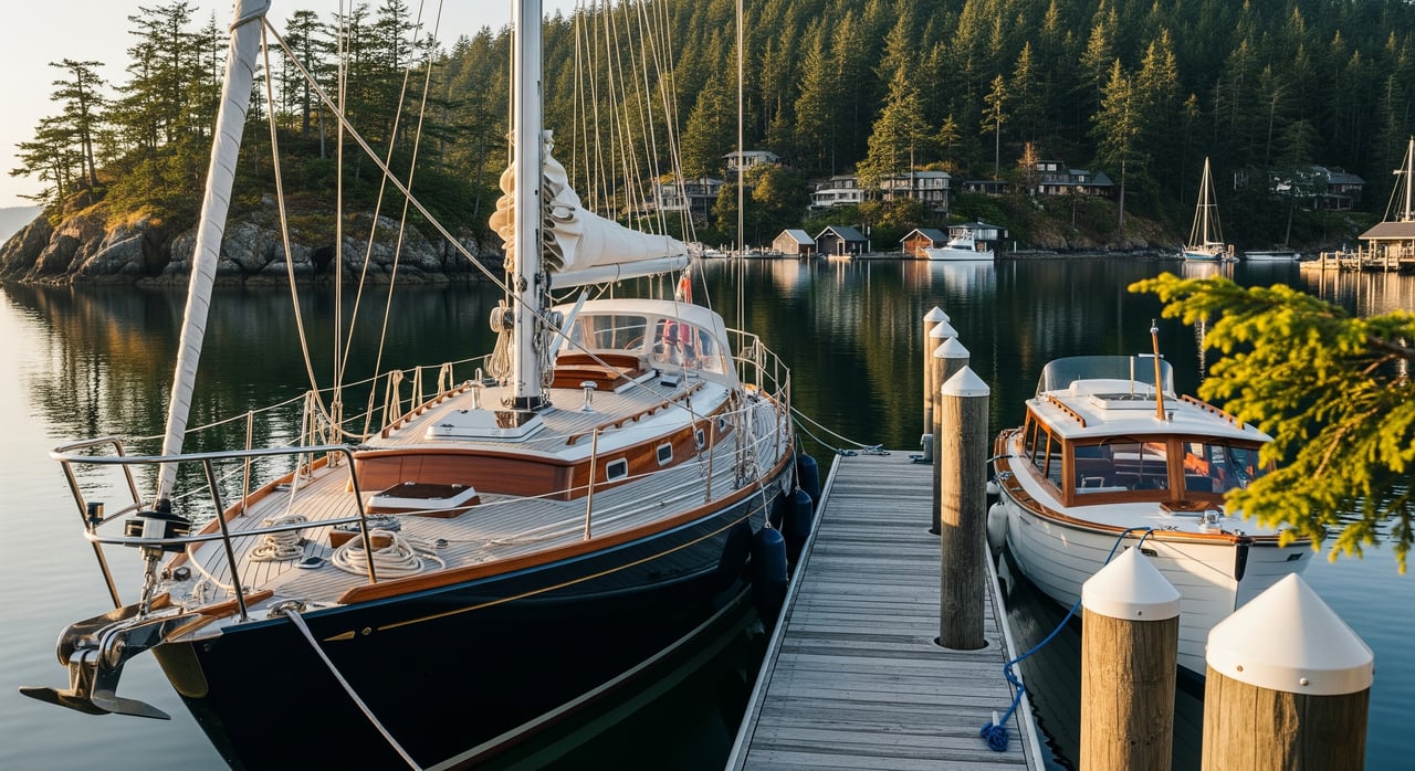
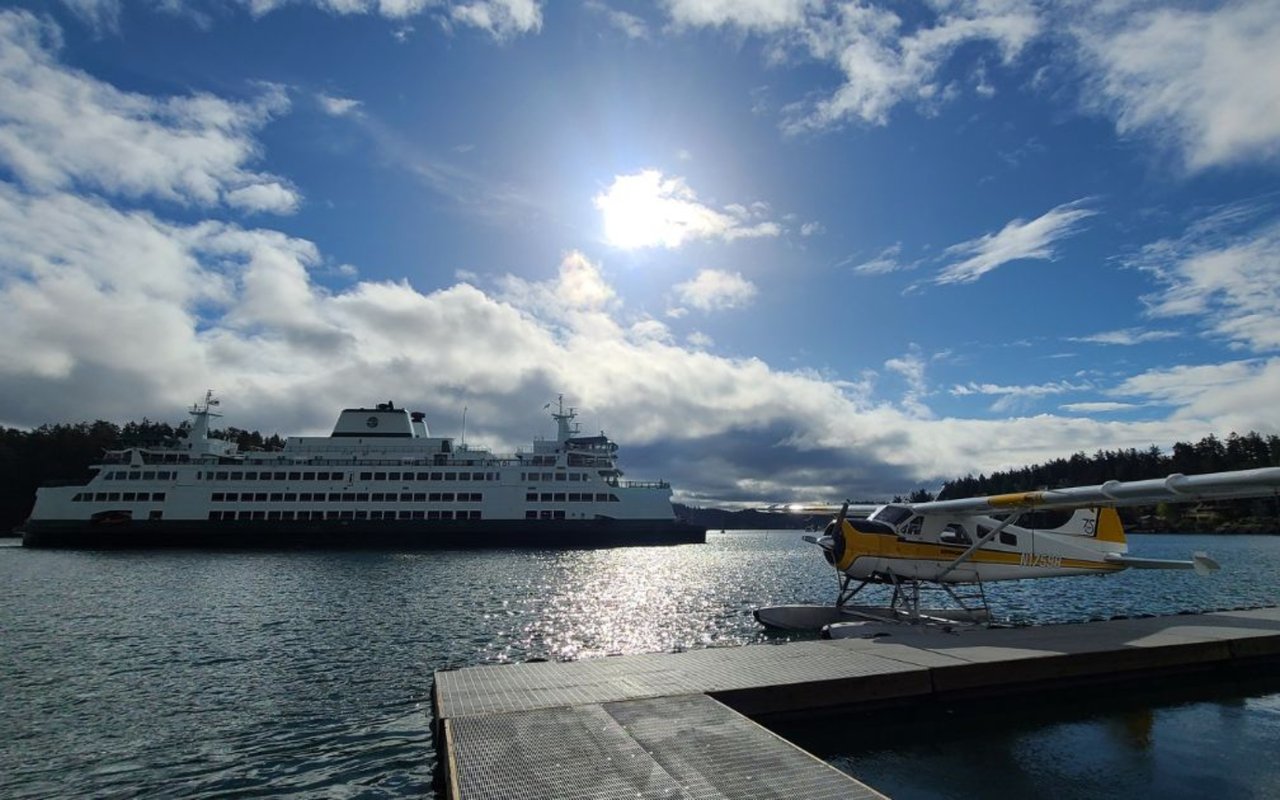
Plan ferry and barge logistics
- Most heavy equipment and materials arrive by Washington State Ferries or by barge.
- Construction schedules and costs can be affected by ferry capacity and seasonal demand.
- Some parcels benefit from barge delivery; identify feasible landing points early.
Field check the route
- Walk or drive the full route from the ferry or nearest public road.
- Note road width, grade, and surface, plus any culverts or bridges that may limit trucks.
- Ask for road maintenance agreements if a private road serves multiple owners.
Slope, bluffs, and geotech
Topography drives what you can build, where you can place it, and how much it costs.
Why slope matters
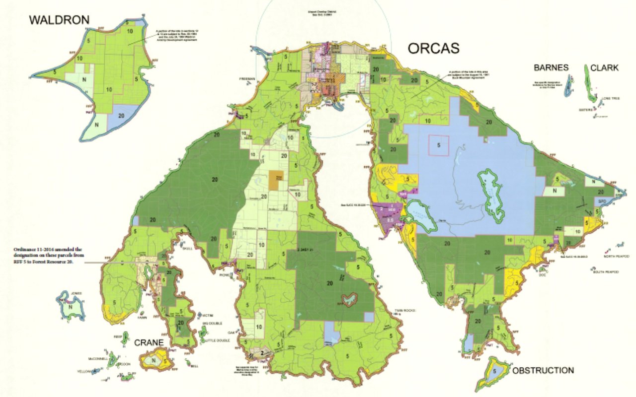
- San Juan County regulates setbacks from bluffs and steep slopes.
- Bluff stability can change over time. A geotechnical report is essential if a bluff or significant slope is present.
- Steeper sites can limit both the building envelope and septic locations.
Soil and subsurface realities
- Shallow bedrock or cobbly soils can increase excavation and foundation costs.
- Soils influence drainage and onsite sewage options.
- Ask the seller for prior geotechnical or soils reports and have your engineer do site-specific borings as needed.
Get the right measurements
- Order a topographic survey with clear contour intervals for design and permit submittals.
- Request a preliminary geotechnical scoping study to flag risks before you finalize terms.
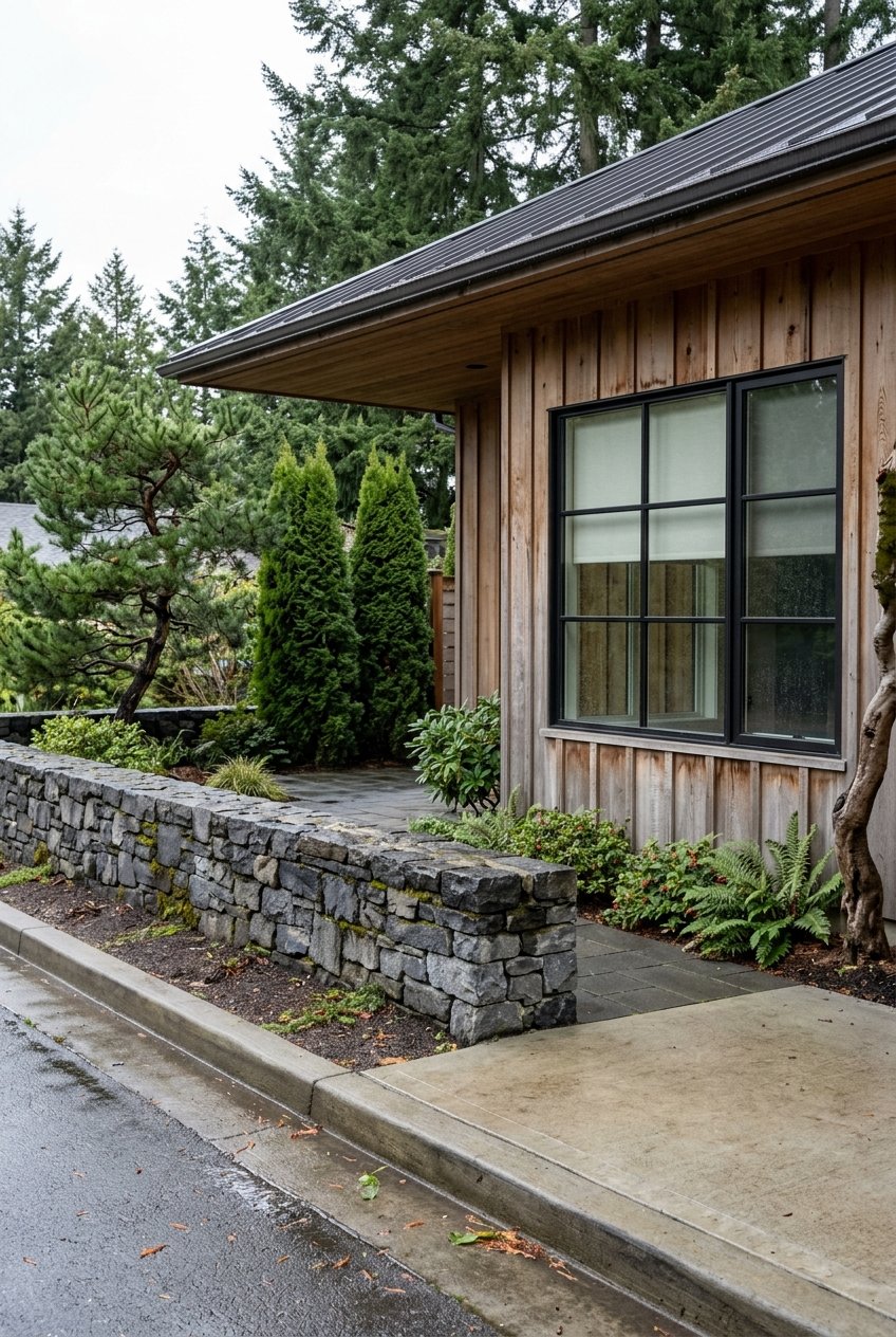
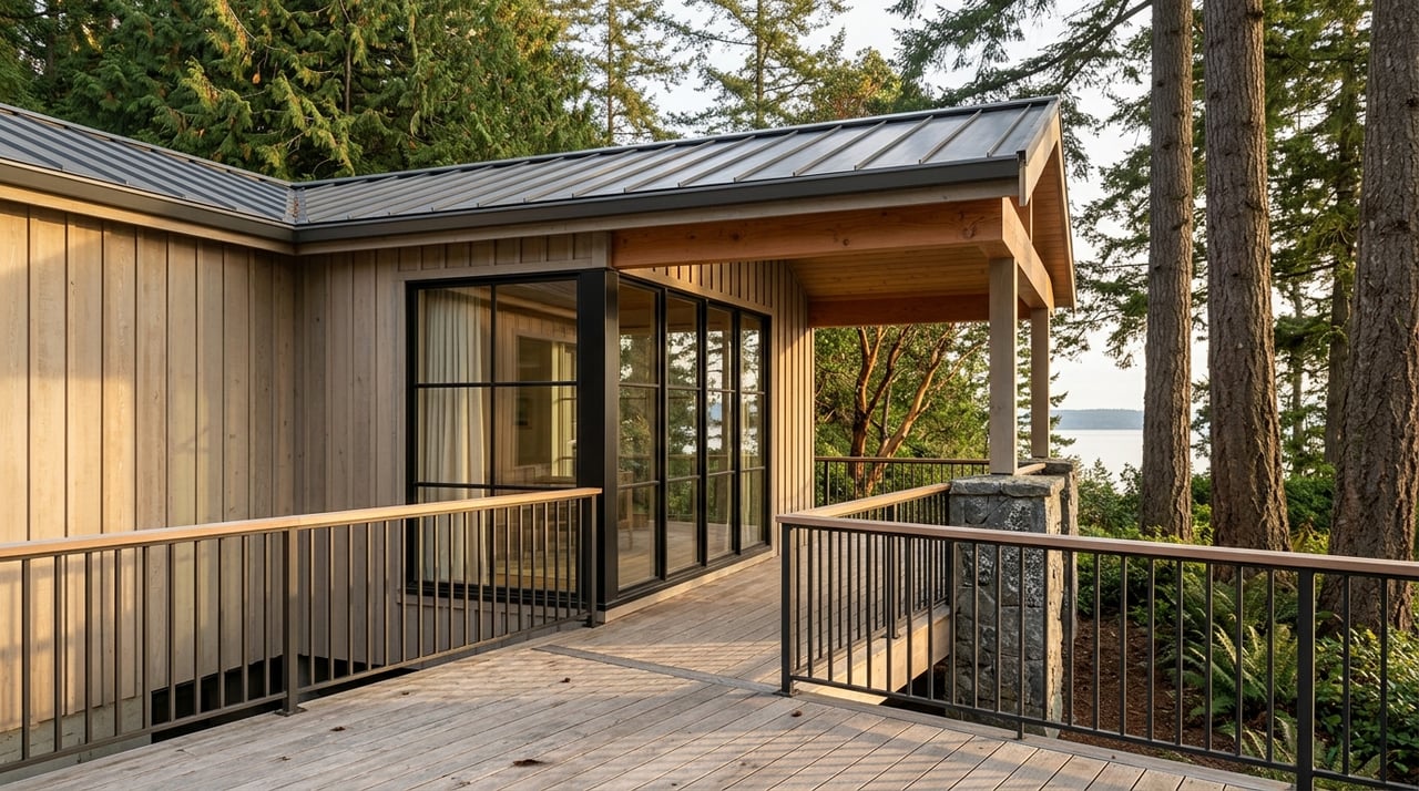
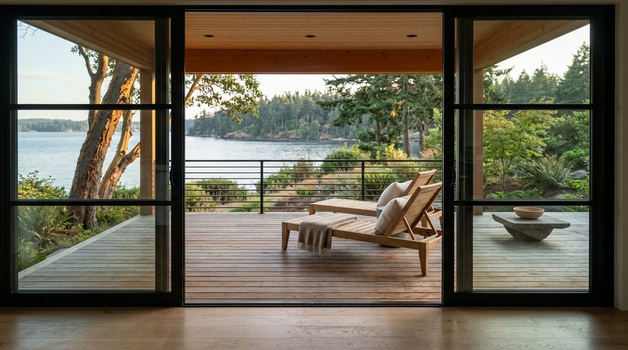
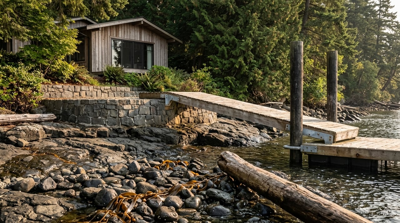
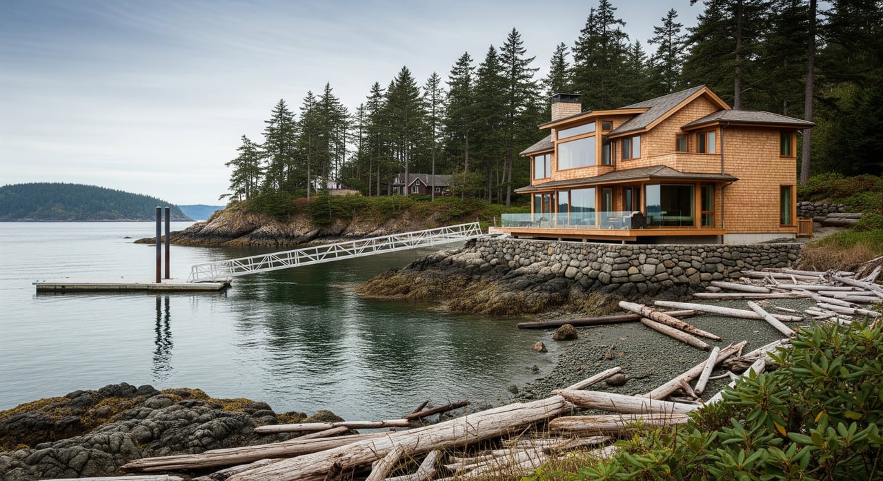
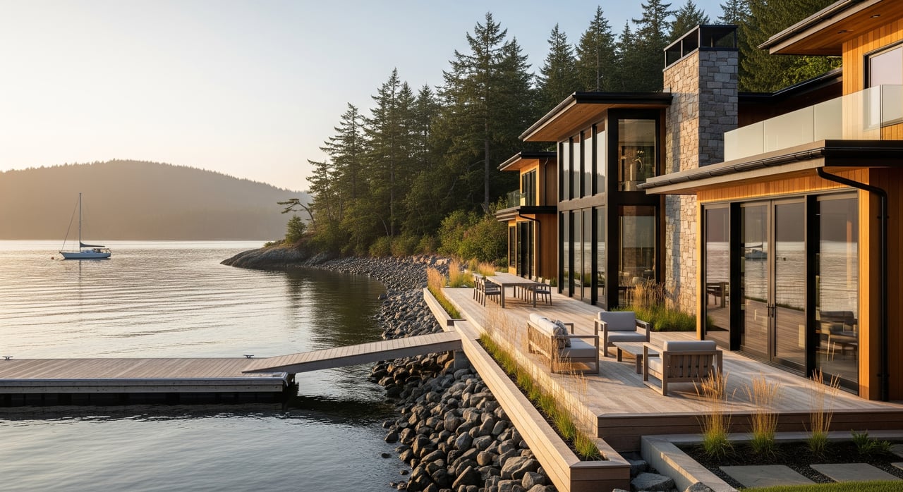
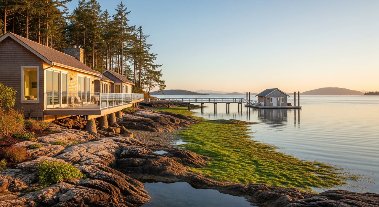
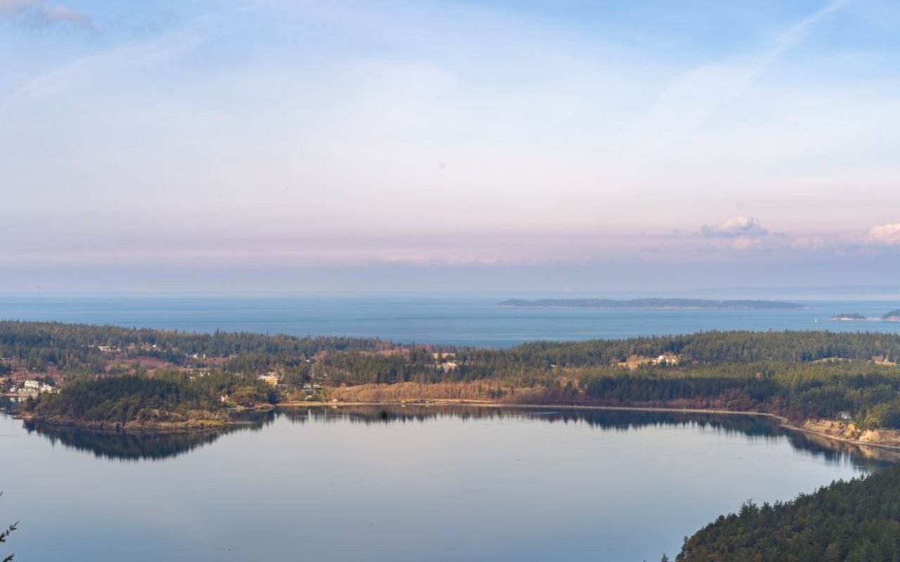
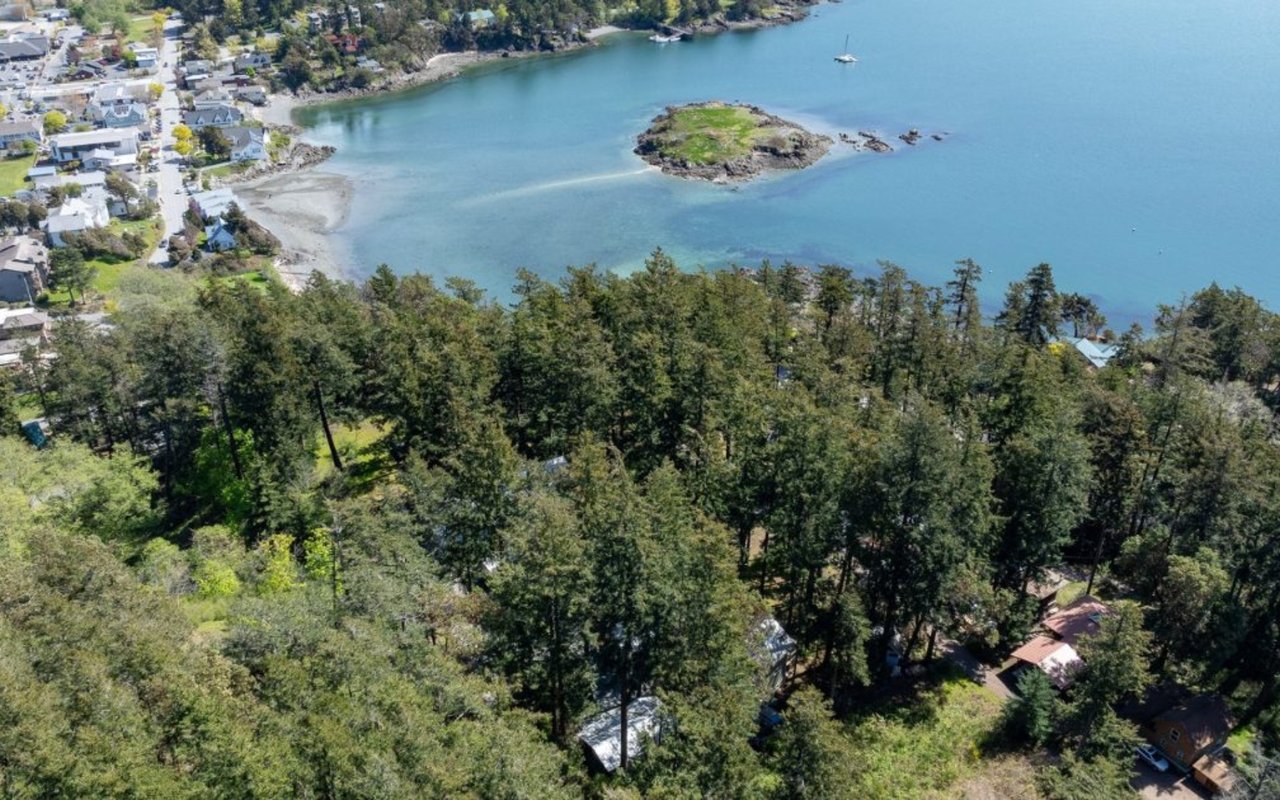
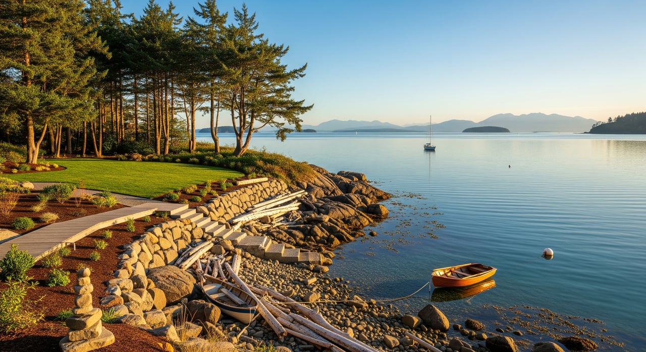
Shoreline types and rules
Not all Orcas waterfront is the same. The shoreline type and ecology influence design, setbacks, and permits.
Know your shoreline
- Common types include steep bluff, low bank, rocky shore, and pocket beach.
- Each type has different engineering needs and regulatory considerations.
Master Program and in-water work
- The San Juan County Shoreline Master Program sets setbacks, allowed uses, and mitigation standards.
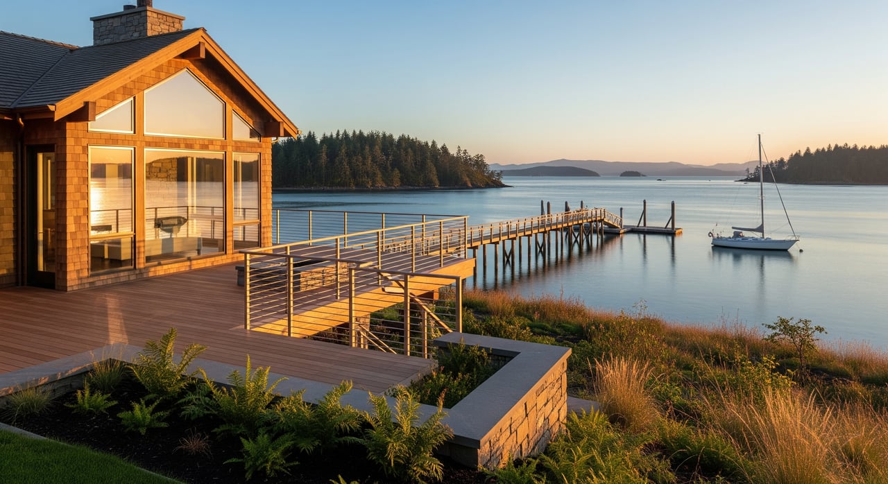
- Shoreline stabilization (bulkheads, rock revetments) is closely regulated and often discouraged if softer approaches are feasible.
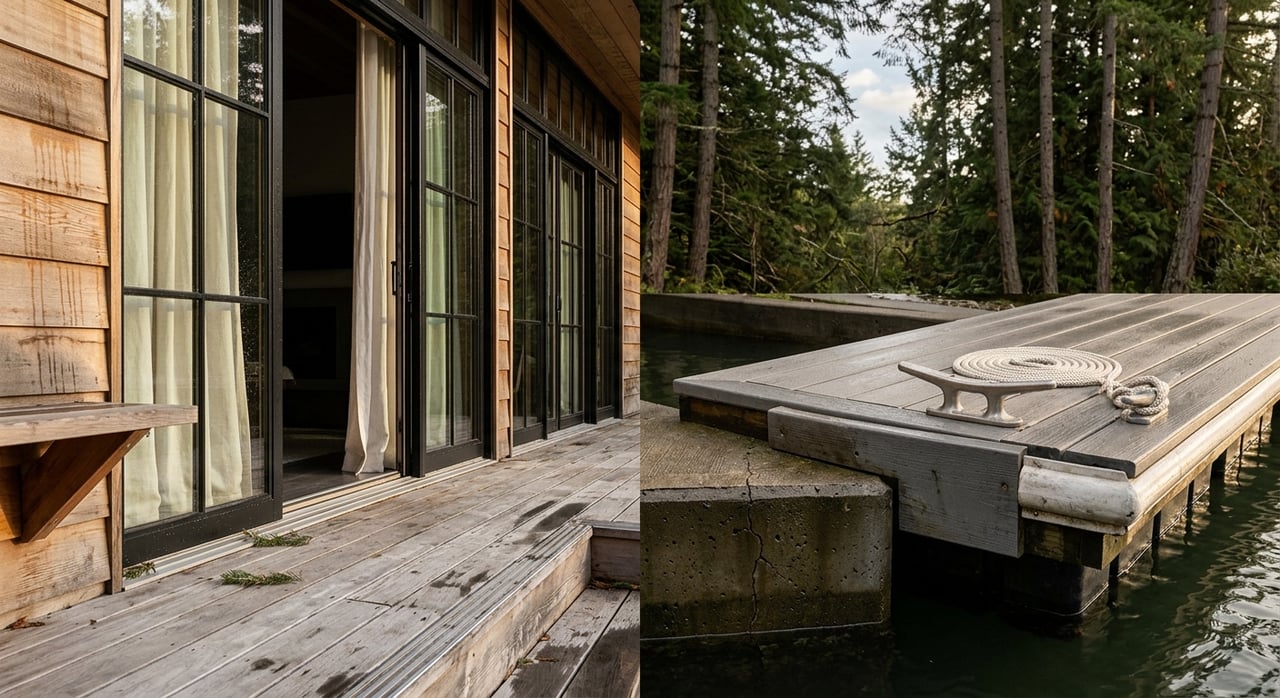
- Docks and pilings require county review and typically state and federal permits.
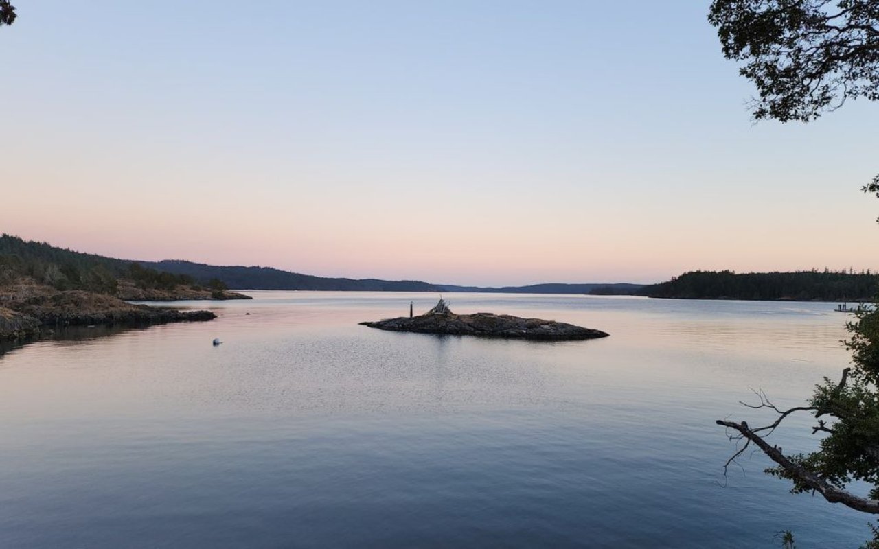
Tidelands and aquatic lands
- Ownership below the ordinary high water mark is commonly held by the state.
- Private upland ownership does not automatically include the foreshore.
- Contact Washington State Department of Natural Resources early if you are considering moorage or a dock.
Habitat considerations
- Eelgrass, forage fish spawning areas, and salmon habitat may be present near your shoreline.
- These resources can require biological surveys, design changes, and habitat mitigation.
- A shoreline or ecological assessment is recommended if you plan any alterations near the water.
Water, septic, and stormwater
Water and wastewater feasibility are often the true go or no-go items on raw land.
Water sources on Orcas
- Parcels may connect to a community system or rely on an individual well.
- Verify water rights, nearby well logs, and expected depth and yield.
- Well drilling can be costlier on the islands due to local hydrogeology and access.
Septic feasibility basics
- Onsite sewage systems require a county-approved site evaluation.
- Soils, depth to groundwater, and setbacks from the shoreline and wells determine system type and placement.
- Alternative systems (such as pressure distribution, mound, or aerobic treatment) may be required on constrained sites and can cost more to install and maintain.
Stormwater management
- Coastal sites need careful stormwater plans to protect the nearshore.
- Expect erosion control during and after construction as part of permit conditions.
Utilities and connectivity
Power and communications vary by location. Confirm early so you can budget accurately.
Power options
- Some parcels have nearby grid power; others require line extensions and new easements.
- Off-grid setups (solar, batteries, backup generator) are possible but require specialized design.
Internet and communications
- Broadband availability is not uniform across Orcas.
- Confirm cellular coverage and options for fiber or fixed wireless at the parcel.
Everyday services
- Trash pickup, mail delivery, and emergency response distances can influence daily life.
- Map out driving times to groceries and medical care to align with your goals.
Permits and timeline
Approvals can be straightforward or complex depending on your plan and site constraints.
Common approvals
- County building permit and inspections.
- Septic permit through county environmental health.
- Shoreline permits for work within shoreline jurisdiction.
- Critical areas review for wetlands or steep slopes.
- Grading and clearing permits, and sometimes SEPA review.
- State and federal approvals for in-water work or structures on aquatic lands.
How long it may take
- Building permits can take months depending on submittal quality and workload.
- Shoreline and in-water permits often add several months to more than a year due to interagency review, public notice, and mitigation planning.
- Seasonal work windows to protect fish can shift construction into specific months.
Pre-application strategy
- Schedule early meetings with San Juan County Planning and Environmental Health.
- Bring a preliminary site plan and questions about setbacks, shoreline jurisdiction, septic feasibility, and likely conditions.
- Clarify the permit sequence and probable timeline before you remove contingencies.
Budget and cost drivers
Remote logistics and site constraints can materially change your budget compared to mainland sites.
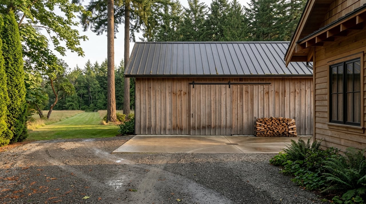
Major line items to expect
- Access improvements: driveway grading, culverts, and retaining.
- Site prep: clearing, stump removal, rock excavation.
- Foundations: deeper footings or engineered solutions for slopes and bluffs.
- Septic: design, installation, and potential alternative systems.
- Shoreline work: docks or stabilization where permitted.
- Utilities: power extensions, water solutions, broadband, or off-grid systems.
- Permits and studies: surveys, geotechnical, wetlands, shoreline assessments, and mitigation.
- Logistics premium: ferry or barge transport and seasonal delays.
What inflates cost
- Steep slopes and shallow bedrock.
- Long runs to utilities or new easements.
- Habitat mitigation requirements.
- Complicated access easements or barge-only delivery.
- Engineered shoreline solutions when required.
Insurance and long-term risk
Understanding risk now protects your investment and informs design decisions.
Flood and coastal inundation
- Review FEMA flood maps for zone designations and base flood elevation.
- Even outside mapped flood zones, storm surge and future sea level rise can affect siting and design.
Bluff retreat and erosion
- Historic bluff retreat rates and site conditions matter for long-term stability.
- Increased setbacks and adaptive design can reduce risk to structures.
Insurance implications
- Coastal risks may influence policy availability and premiums.
- Discuss rebuild costs and coverage with an insurer who understands San Juan County.
Pre-offer due diligence checklist
Use this list to shape contingencies and keep your evaluation on track.
- Title and access
- Current title report with easements and exceptions.
- Recorded plat and any road maintenance agreement.
- Verification of legal vehicular access and any tidal limitations.
- Surveys and studies
- Boundary and topographic survey with shoreline and bluff features.
- Preliminary geotechnical scoping; full report if slopes or bluffs exist.
- Septic feasibility/site evaluation by a qualified designer.
- Shoreline or ecological assessment if within shoreline jurisdiction.
- Utilities and services
- Written estimates for power extension or interconnection.
- Water source verification: community membership or well feasibility.
- Broadband options and cellular coverage confirmation.
- Permitting and timeline
- Pre-application consult with County Planning and Environmental Health.
- Draft permit checklist and estimated review durations.
- Identification of seasonal work windows if near the shoreline.
- Budget and logistics
- Line-item estimates from local contractors for roads, foundations, septic, and shoreline work.
- Ferry or barge logistics plan and delivery cost assumptions.
- Risk and insurance
- FEMA flood determination.
- Inquiry on bluff stability and any known studies.
- Preliminary discussions with an insurance broker on coverage and cost.
Who you need on your team
The right professionals reduce risk, compress timelines, and help you design within the rules.
- Real estate attorney for title exceptions, easements, and tideland questions.
- Licensed surveyor for boundary and topo work, including the ordinary high water mark location where relevant.
- Geotechnical engineer for slope stability and foundation recommendations.
- Civil engineer and septic designer for onsite sewage and stormwater plans.
- Marine or shoreline consultant/biologist for eelgrass and forage fish surveys and mitigation planning.
- Wetland scientist if wetlands are suspected or mapped.
- Structural or coastal engineer for docks or shoreline stabilization design.
- Local contractors and marine contractors experienced with Orcas logistics and permits.
- Early meetings with San Juan County Planning, Environmental Health, and Public Works to align expectations.
Putting it together
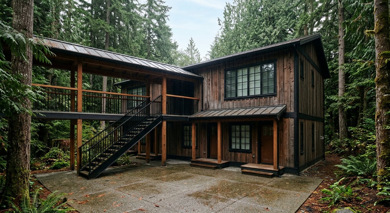
When you evaluate waterfront land on Orcas Island, focus on feasibility first, not just the view. Confirm legal access, test the soils, understand the shoreline, and map the permits and timeline. Build a realistic budget using local estimates and plan for the island’s logistics. With the right team and a clear process, you can secure a parcel that supports your vision and protects your investment for the long term.
If you would like local, step-by-step guidance from brokers who work this process every day, reach out to Windermere Real Estate Orcas Island, Inc.. Our team can help you align site realities with your goals and connect you with trusted island professionals.
FAQs
What should I check first when buying Orcas waterfront land?
- Start with legal access, septic feasibility, and shoreline setbacks. These three often determine whether your plan is viable.
Can I build a dock on my Orcas waterfront parcel?
- Possibly. Docks typically require county shoreline permits and state or federal approvals, plus habitat studies. Early feasibility with specialists is essential.
How do I know if a septic system will work on my lot?
- A county-approved site evaluation by a qualified professional is the decisive step. Soil type, groundwater depth, and required setbacks guide system design.
Do I own the beach in front of my property?
- Not necessarily. In Washington, the state commonly owns lands below the ordinary high water mark. Confirm title and consult on tideland issues before planning in-water uses.
How long does permitting take for waterfront projects?
- Timelines vary. Simple building permits can take months; shoreline and in-water permits may extend several months to a year or more due to interagency review and seasonal work windows.