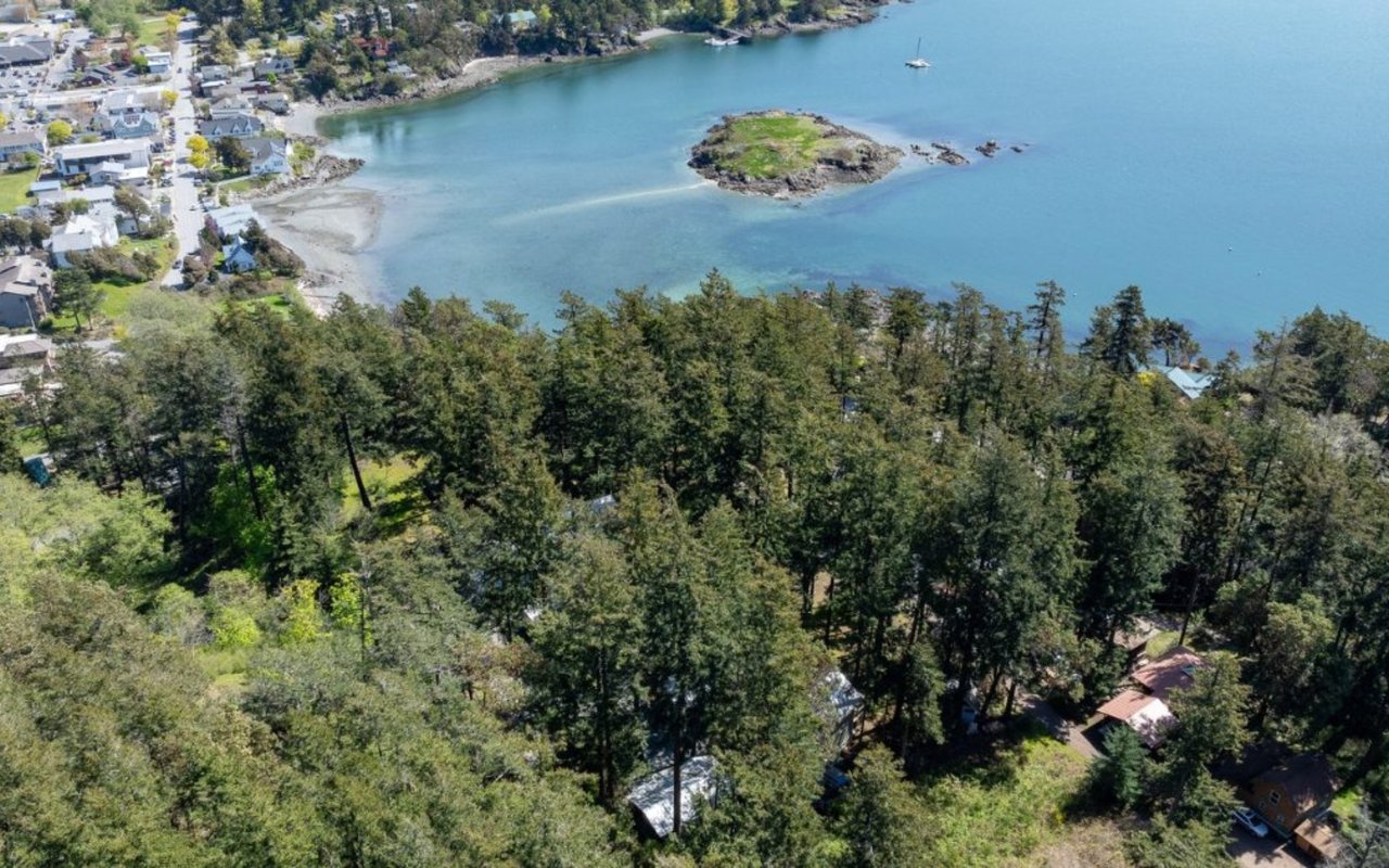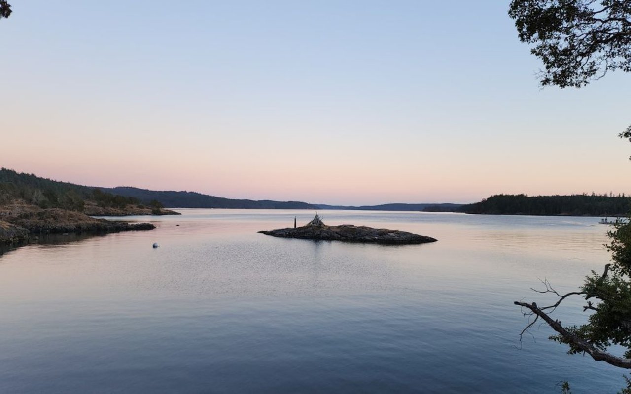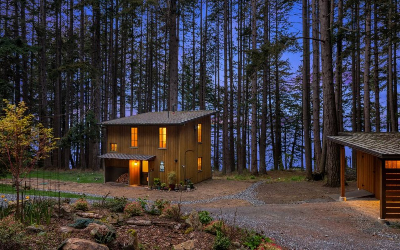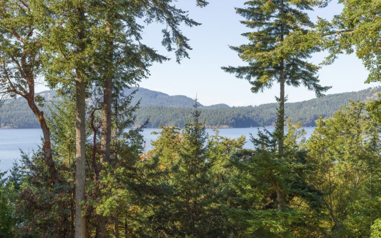
If you live anywhere along Deer Harbor Road, Turtleback Mountain is probably the trail you've been meaning to get back to since some point last year. It's a straight shot down Deer Harbor Road, past West Sound, then a turn onto Wild Rose Lane, and you're parked and walking. That proximity is exactly why so many of us stop paying close attention to it. We assume we already know the rules, the parking situation, and what's waiting at the top. Two of those three assumptions are now wrong, and the third one was probably never right to begin with.
Start with the rule everyone repeats about Turtleback: bikes on even days, horses on odd days, hikers whenever they want. It's a real rule. It's also not your rule if you're parking at Wild Rose Lane.
The odd-even split lives at the other trailhead
The San Juan County Conservation Land Bank, which owns and manages the preserve, draws a clean line between its two entrances. The North trailhead, reached off Crow Valley Road near Eastsound, is where the calendar-day system applies: mountain bikes on even dates, horses on odd dates, pedestrians every day. The South trailhead, the one Deer Harbor Road residents actually use, is pedestrian only, full stop, every single day of the year. There's no schedule to check because there's nothing to schedule around.
It's a small distinction, but it matters if you've ever waved off a Saturday hike because you thought you'd be dodging mountain bikes on an even-numbered date. You won't. Not from this end.
Here's the split in plain terms:
North Entrance (Crow Valley Rd) | South Entrance (Wild Rose Ln) | |
|---|---|---|
Trail use | Pedestrian, bike, horse | Pedestrian only |
Bike access | Even calendar days | Not permitted |
Horse access | Odd calendar days | Not permitted |
Parking | Original lot | Rebuilt fall 2025, 20 spaces |
Facilities | None | None |
That last row isn't a typo. Neither entrance has a restroom, a water source, or a garbage can. Whatever you carry in, you carry out, at both ends of the mountain.
What actually changed in the lot last September
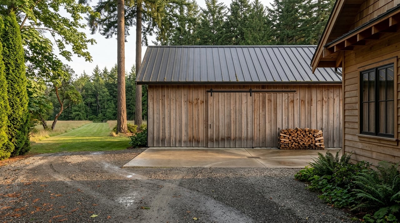
The parking area at Wild Rose Lane is not the same lot it was a year ago. The Land Bank closed the South Entrance for a rebuild starting September 23, 2025, and reopened it four days later, on September 27. The project pulled the lot from 12 spaces to 20, added one paved ADA van space, and wrapped the reconfigured seasonal overflow area in a round-rail wood fence to keep cars from creeping further into the adjacent field.
Part of the work involved clearing what had been growing in and around the old lot: four invasive poplar trees and one horse chestnut came out, and the Land Bank kept the resulting logs on site as habitat features rather than hauling them away. If you haven't been back since last summer, the entrance itself will look different before you even reach the trail.
None of this shows up on older trail maps or on most of the hiking sites still describing a 12-space lot. If you're cross-referencing directions from an app or an outdated guide, expect the parking count to be off by eight.
The loop worth the short drive
Assuming you're there for the hike and not just the parking lot, the classic route from this side is the Ship Peak Loop, a roughly 3-mile round trip that starts right at the Wildrose Lane trailhead.
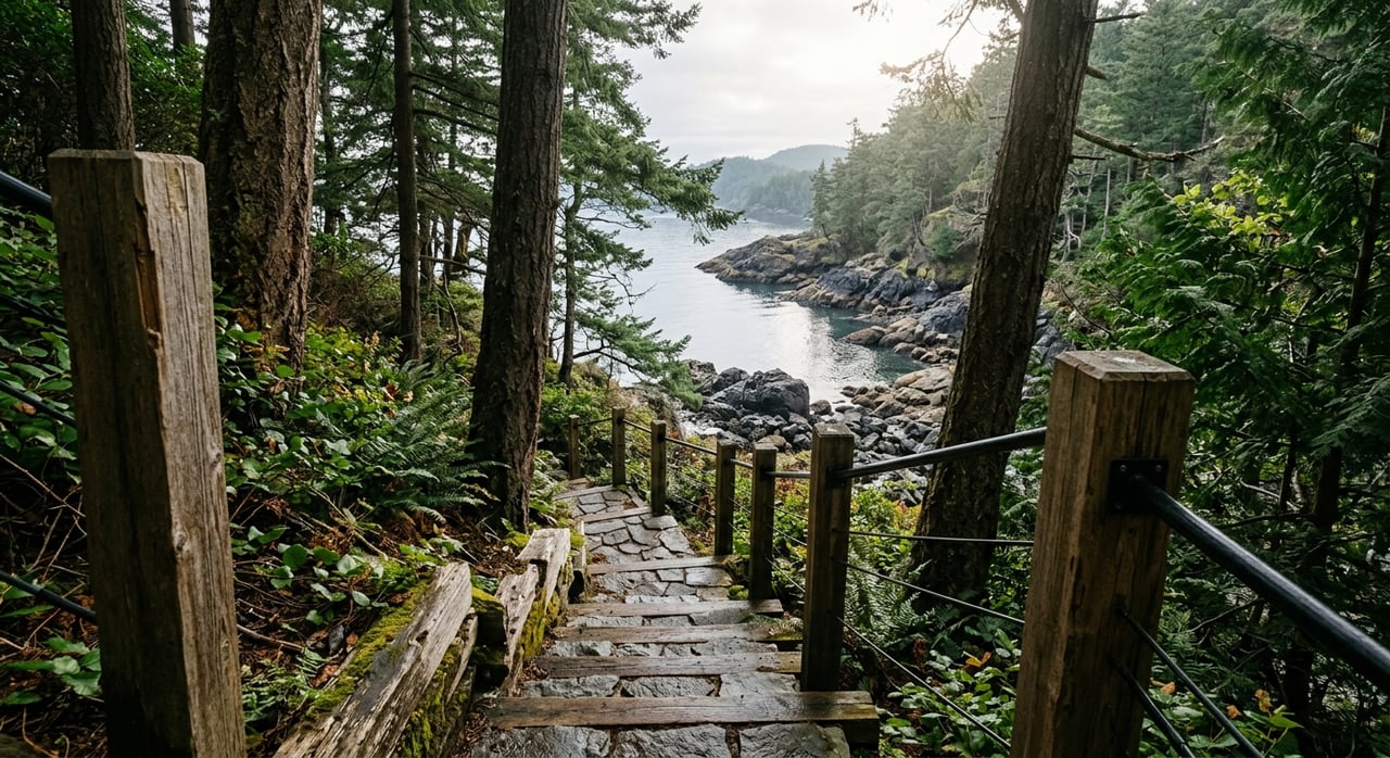
The route runs like this: follow the South Trail from the parking area, and in just under half a mile you'll hit a fork. Bear right onto the Morning Ridge Trail. Another half mile brings you to the West Overlook, worth pausing at before continuing on to the actual summit of Ship Peak, which sits just past the Lost Oak Trail junction. The peak itself is a short side trip off the main loop, easy to fold in without adding real distance. From there, follow the Lost Oak Trail back down to the old logging road where you started.
It's a moderate outing, not a technical one, and the elevation gain is gradual enough that most fitness levels handle it without issue. If you want to extend the day, the Lost Oak Trail also connects the other direction into the Ridge Trail, which threads deeper into the preserve's interior loops for anyone who wants more than the standard out-and-back.
The mountain's full trail network runs over 8 miles across roughly 1,718 acres, connecting the north and south trailheads along with a separate mile-long spur that climbs to Turtlehead, the highest point on the ridge. That summit sits at the north end of the preserve, so it's not part of a typical South Entrance loop, but it's worth knowing about if you ever park at Crow Valley Road instead.
What the Land Bank says is coming next
The parking lot rebuild wasn't the end of the plan for this corner of the preserve. Per the Land Bank's own 2022 Stewardship and Management Plan, the next phase calls for planting Garry oaks in the lower field adjacent to the new lot, followed by designing and building an accessible loop trail through that same area. Garry oak habitat is already one of the ecological features that makes Turtleback distinct within the county's preserve system, and this project would extend it right up to where most South Entrance visitors now park.
There's no public timeline yet for when the accessible loop trail itself breaks ground, but the plantings are the first visible step, and they're the kind of detail you'd only notice if you already know to look for them among the trees near the fence line.
Before you go
A few things worth knowing regardless of which entrance you use or how many times you've hiked here before:
- Access is dawn to dusk only. There's no overnight parking and no camping anywhere in the preserve.
- Dogs are welcome but must stay leashed, and owners are expected to pack out waste rather than leave it trailside.
- No fires and no hunting anywhere on the property.
- If you're organizing a group larger than 15, the Land Bank asks that you call ahead at 360-378-4402 so staff can plan around it.
- Bring your own water. There's none available at either trailhead, and that hasn't changed with the rebuild.
Turtleback has been protected land since a 2006 community fundraising campaign kept it out of residential development, and the Land Bank's ongoing work, from culvert replacements to this latest lot rebuild, is part of keeping it usable for everyone who lives near it. For Deer Harbor Road neighbors, that means the trail closest to home is worth another look this fall, both for what's already different and for what's about to grow in.
If you're weighing what makes this stretch of the island work day to day, from trail access to marina life, the Deer Harbor neighborhood page has more of what shapes daily life here. And if a conversation about property on this side of the island ever comes up, our team at True North Realty Orcas Island knows this ground well enough to talk through it honestly.
This article is general information, not legal, tax or financial advice. Consult a qualified professional about your situation.